|
|
|
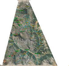 |
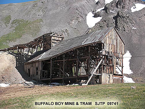
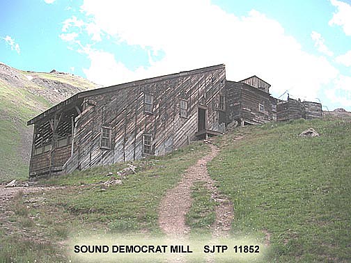
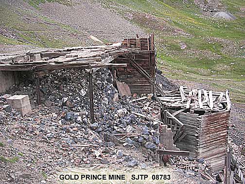
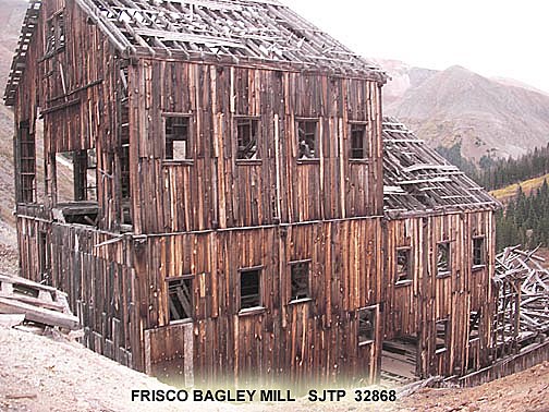
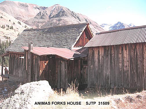
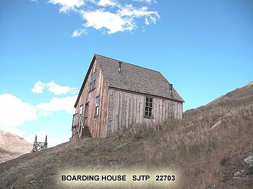
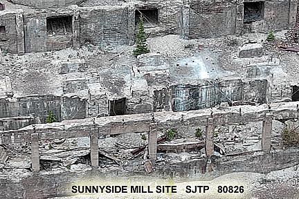
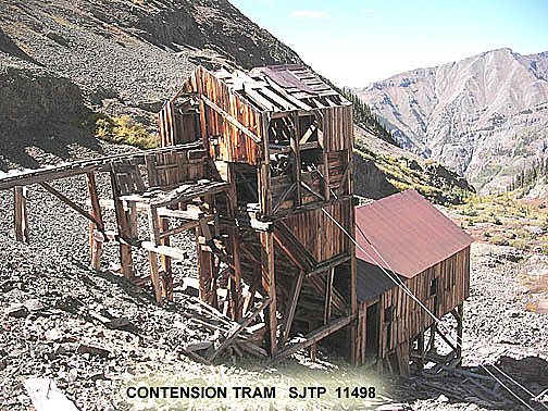
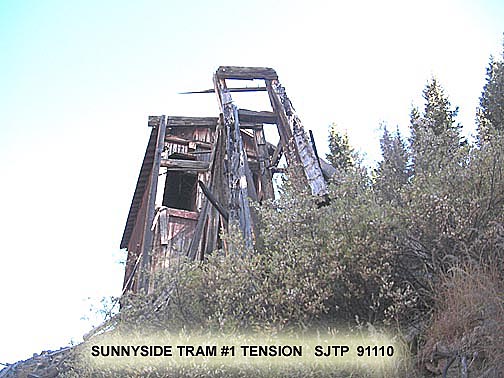
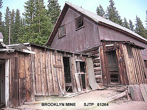
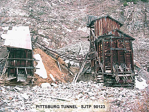
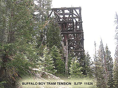
The San Juan Triangle is the northern part of San Juan County with borders with Ouray, Hinsdale, San Miguel counties. The southern boundary is a little south of Silverton. The area covers the main mining district with mines beyond San Juan into Ouray, Hinsdale and San Miguel counties and is one of or the largest historical mining areas in the western USA and probably the most completely documented mining areas with over 500 mine sites . San Juan Triangle (SJT) is accessed by county roads CR 2, CR 3, CR 4, CR 5, US 110, CR 51, CR 52, CR 53, CR 35, CR 61, CR 9, CR 19, CR 11, CR 17 and US 550. The SJT has about 400 mine sites, several buildings in various states of stability, long gone mill sites, numerous mining artifacts, Animas Forks ghost town, Sound Democrat Mill, Placer Boarding House, Eureka site & camp ground, Sunnyside mines/mill, Gold Prince mine site, Frisco mill/mine, Buffalo Boy mine/tram, Big Giant mine/mill/tram, Mayflower mine/mill/tram, numerous mountain vistas, mining mill and mine tours. Also hiking, camping, vehicle rentals, the old west mining.
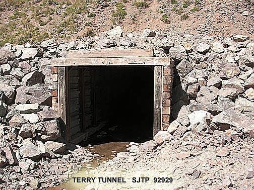
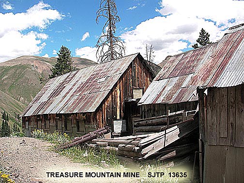
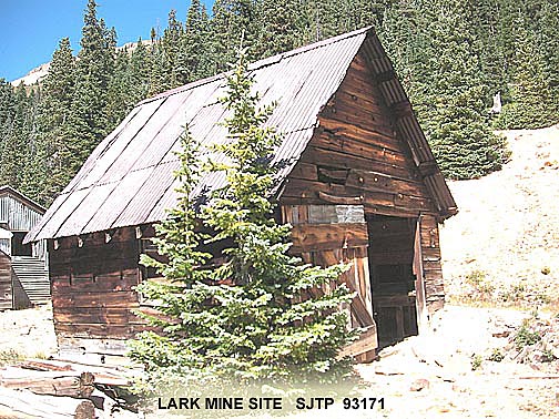
Around 1900 (125 years ago) the San Juan Triangle was a busy mining commerce with 1000s of people, small towns, 100s of working mines, many mills and mining operations, railroads, tramways. Today, still remnants of mining past with tailings, adits, shafts, standing buildings, building and town sites, tramways, artifacts. San Juan Triangle is an outdoor museum of the mining past on the original mining roads.
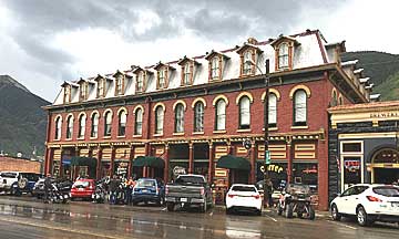
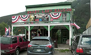
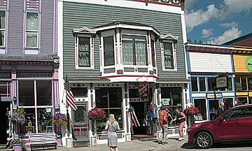
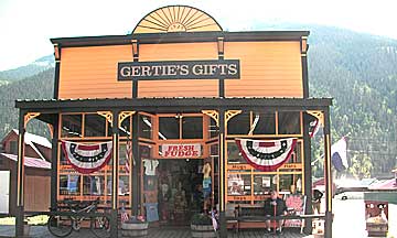
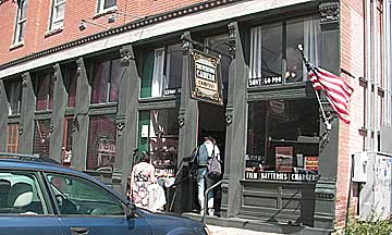
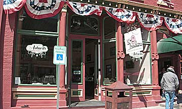
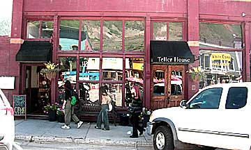
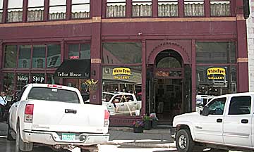
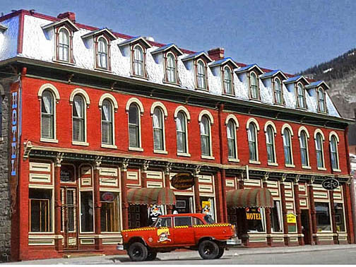
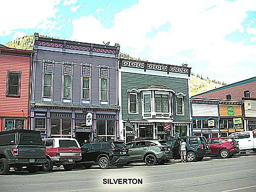
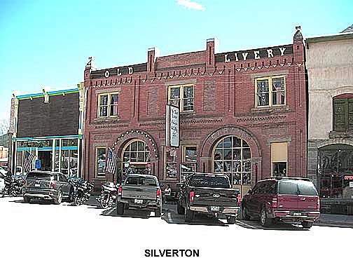
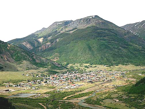
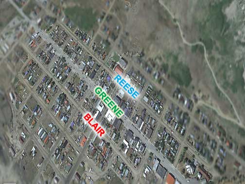
Silverton In 1874, Silverton's town site was established, quickly becoming the hub of numerous mining camps. Alongside miners, the town attracted the attention of a Denver railroad company. In July 1882, the inaugural train from Durango, operated by the Denver & Rio Grande Railroad, arrived in Silverton. By 1883, Silverton boasted a population of 2,000, featuring 400 buildings, including 2 banks, 5 laundries, 29 saloons, hotels, and the notorious red-light district, Blair Street.
From 1874, families began relocating to Silverton, prompting efforts to maintain respectability within the town. An imaginary line down Greene Street symbolized the division between law-abiding residents and the establishments associated with gambling, prostitution, and entertainment.
In May 1883, a grand jury indicted 117 "lewd women" on Notorious Blair Street. While fines were imposed, gambling and prostitution were somewhat tolerated as long as they remained confined to certain areas. Such lascivious behavior was not necessarily condemned, as fines were readily used for the growing community.

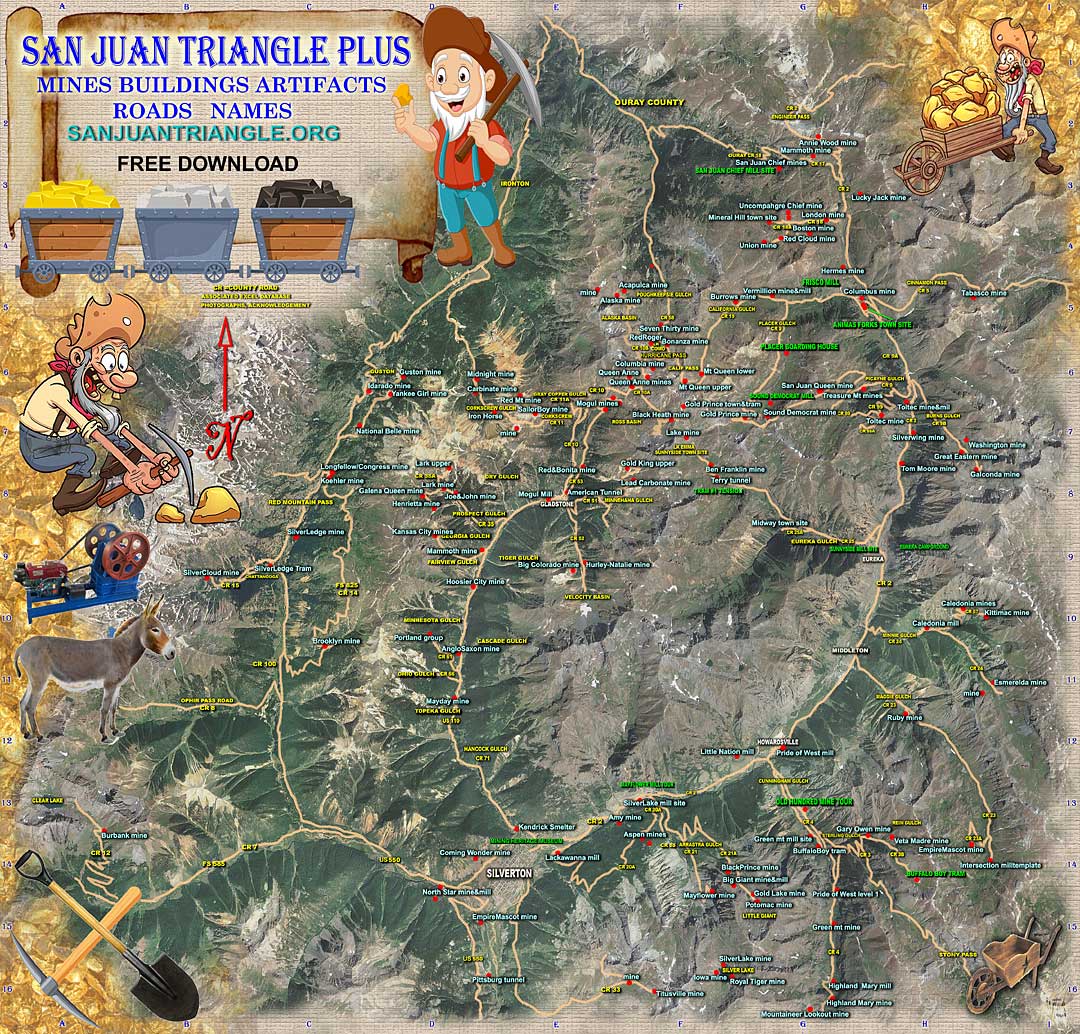
FREE MAP WITH ACCESSIBLE MAJOR MINE NAMES
PDF MAP WITH MINE NAMES
![]()
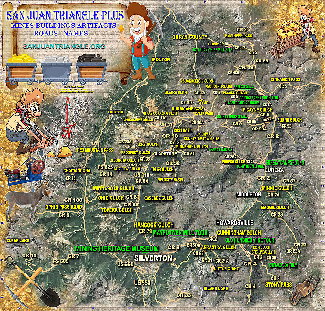
FOR 2025 THIS MAP WILL HAVE ROAD GRADE A B C D E A=HWY 2 WHEEL DRIVE E=LAST TIME USE TRUCK 4 WHEEL DRIVE (JEEP,OHV)
NOTE DEPENDING ON WEATHER AND MAINTENANCE GRADE CHANGE + -
ALSO CURRENTLY AVAILABLE SANJUANJEEPROADS.US
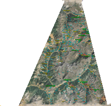
FULL MAP WITH COUNTY ROADS- AVAILABLE FREE PDF
COUNTY ROADS
![]()
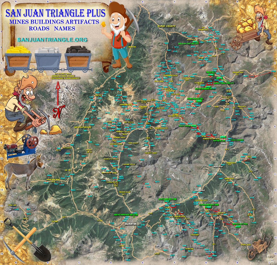
FULL MAP WITH MINE SITES - AVAILABLE FREE
PDF DATABASE SORTED BY SITE CODE ![]() PDF DATABASE SORTED BY SITE NAME
PDF DATABASE SORTED BY SITE NAME
![]()
NOTES FOR PDF DATABASE - additional info not public like super fund, damaged, P0 = photo approval required
SITE PROFESSIONAL IMAGES/INFO NEVER PREVIOUSLY SEEN (by ground, drone) PHOTO FOLDERS AVAILABLE $75 - $80
SJTP site code is San Juan Triangle Project, (or San Juan Triangle Plus map) data base, photos
This map is about 33" x 35" , high resolution super detail, site code (blue&red dot), GPS location. San Juan Triangle Project accurate site GPS location, site names, EPA Superfund and reclamation, site condition. SJT Project in the form of PDFs for computer or cell phone, site data, Availability free by PDF. A printed map for wall about 33" x 35" on heavy vinyl (scrim) near canvas may be available from selected locations. Over 8000+ high resolution site photos, 1-200/site 500+ sites with historical artifacts and historical significance, location, limited availability. Donations of site photos appreciated (see below). Map, photos and data available for publications. Probably the most accurate available San Juan Triangle road & mine map for cell phones, tablets, computer, general information, detailed mining locations .
NOTE - all map and data is release June 2025, final update map, data and photo about March 2026 with photo update 2027.
San Juan Triangle Project is to properly document all 500 or more worked mine sites (not many many claims or prospects), exact GPS location, name, photographs, mining artifacts & trams, historical condition, comments, county road & roughness, and site water interaction, completion late 2026. For institutions, Colorado Gov, Colorado School of Mines, libraries, public data, historical mining, BLM, EPA, USFS, map, photos, database available free (contact sanjuantriangle.org bottom), multiple high resolution site images never before seen drone close-ups (zoom in) over 8000+ (22gb), historical significance, historical artifacts with detailed site water interaction photos based on superfund report May 2018, by on ground (G), drone (D), 3D satellite (S), text (T). Also available to professional book writer book writer Many sites have both ground or drone and 3D satellite. Database (xls or PDF) for multiple sites same name has data line for each, same site with multiple names has data line for each, available data line for each site by name or each name for same site. Find site by name, GPS, site code. From Superfund Final Report May 2018, some mine sites with over 100 HQ (red) in near water have no water from mine or tailings or any recent water in the area. Note on location - some claimed mine sites have no clear visible site are database marked No Satellite or NOTHING, on map a small dot, have no photo, valid site unknown. Institution search coding suggestions for public.
SanJuanTriangle.org supports Silverton, EPA, BLM, USFS with site information and photo images in the efforts to do proper reclamation saving the San Juan Triangle outdoor historic mining museum.
SAN JUAN TRIANGLE
reclamation past issues
![]()
SAN JUAN TRIANGLE VIEWS
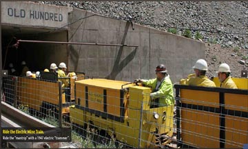
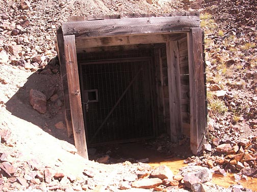
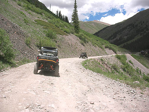
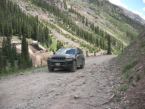
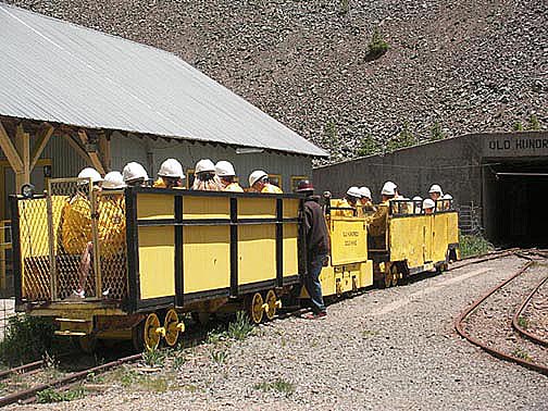
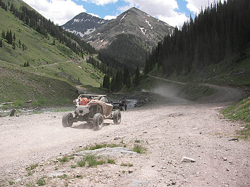
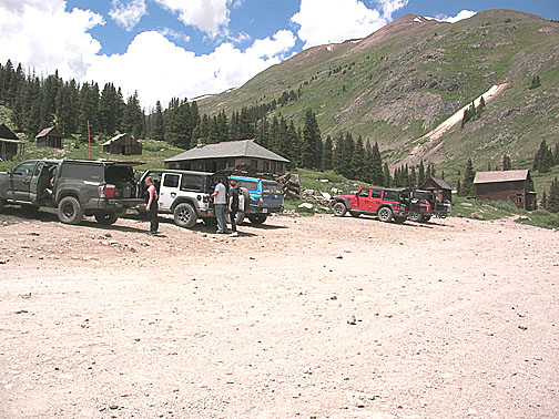
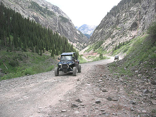
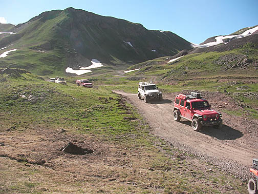
Be aware of road conditions in the San Juan Triangle. Most roads are four wheel drive only, high clearance and not maintained. The only roads suitable for highway only vehicles are county road CR 2 to Eureka, CR110 to Gladstone, CR 4 to Old Hundred mine tour. All mines are closed, gated or collapsed except Old Hundred.

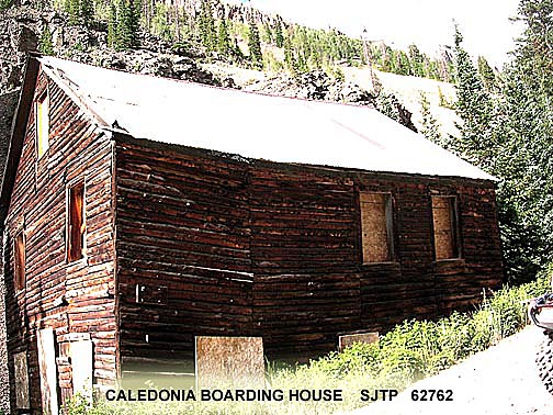
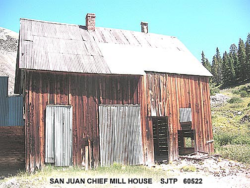

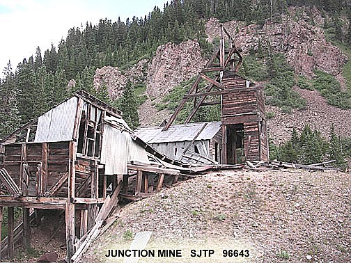
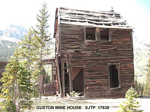
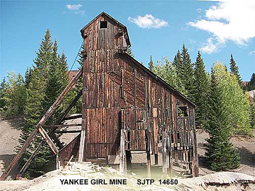
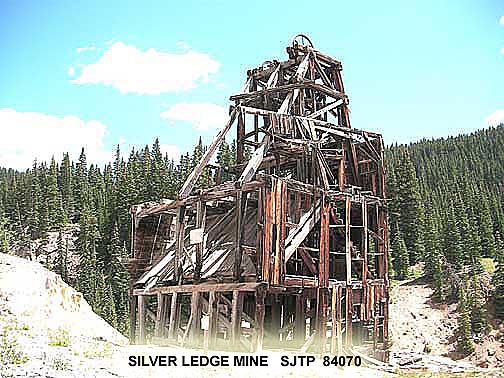
San Juan Triangle verified QUALITY FRIENDLY services:
RENTALS
|
||||||||||||||||||||||
LODGING
|
||||||||||||||||||||||
TOURS & HISTORY
|
||||||||||||||||||||||
FOOD
|
||||||||||||||||||||||
STORES &
SOUVENIRS
|
||||||||||||||||||||||
SERVICES
|
NON LOCAL RELATED WEBSITE LINKS
|
SANJUANJEEPROADS.US
Spring open/close
ANIMAS MUSEUM Durango Research
|
RESEARCH WEBSITE LINKS
|
SANJUAN COUNTY.COLORADO.GOV
HISTORY COLORADO COLLECTION A large San Juan related collection of photos & maps COLORADO HISTORY ARCHIVES Maps and research DENVER PUBLIC LIBRARY SPECIAL COLLECTIONS BLM GUNNISON FIELD OFFICE Maps Info
|
PUBLICATIONS
|
MANY MORE MOUNTAINS
ALLEN NOSSAMAN SUNDANCE PUBS
VOL 1, 2, 3 THE RAINBOW ROUTE ROBERT SLOAN SUNDANCE PUBS AERIAL MINE TRAMWAYS DOUGLAS R THAYER SAN JUAN COUNTY HISTORICAL SOCIETY TOUR THE SAN JUANS DARLENE A REIDHEAD SOUTHWEST PRINTING COMPANY VOL 1, 2. 3 MINES OF THE ALPINE LOOP WILLIAM BOWLING VOL I, II IMAGES OF THE SAN JUANS P. DAVID SMITH WESTERN REFLECTIONS PUBS MINING THE HARD ROCK JOHN MARSHALL SIMPLER WAY BOOK CO RECONNAISSANCE OF METAL MINING IN THE SAN JUAN REGION WILLIAM H KING US DEPATMENT OF INTERIOR SILVERTON JACK BENHAM BEAR CREEK PUBS SILVERTON AND THE ALPINE LOOP JEFF CORR ARCADIA PUBS THE GOLD KING MINE DAVID L THAYER SAN JUAN COUNTY HISTORICAL SOCIETY MOUNTAINS OF SILVER DAVID SMITH WESTERN REFLECTIONS PUBS EXPLORING THE HISTORIC SAN JUAN TRIANGLE DAVID SMITH WESTERN REFLECTIONS PUBS SILVFERTON GOLD ALLAN G BIRD MINES AROUND SILVERTON KAREN A VENDL ARCADIA PUBS |
Since sanjuantriangle.org cannot verify site name(s), if name(s) are possible, a data line is entered for each name. Many sites have multiple names. Sanjuantriangle.org verifies GPS by several sources however no guarantee 100% accuracy.
Photo donations - size 1-4mb / image jpg, suggest contact us before sending on thumb drive (flash drive). Do not send by email. Only interested in mine site images and same site artifacts, not already SJTP imaged, not local scenery, samples photos on sanjuantriangle.org SJTP coded, If accepted images, may be able to return thumb drive with images by SJTP photo folder from sanjuantriangle.org 7000 listing by SJTP code. Depending on quality and number, may be able to add acknowledgement in text in SJTP site photo folder. Acknowledgement text on image acceptable but copyright not accepted as all photos are public.
| EMAIL for ISSUES troy 63 gage at durangolumber.com sanjuantriangle.org not responsible for errors, please contact |
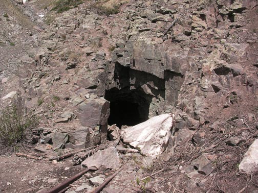
| IMAGE DISCLAIMER - SanJuanTriangle.org does not image on the ground on private land properly marked and gated "No Trespassing". SanJuanTriangle.org does accept images from other people, images may be old, images may be from drone. SanJuanTriangle.org also does not make public images that encourage trespassing and vandalism like visibly open adits or current equipment. SanJuanTriangle.org will remove any image with solid proof that image was from ground on private property properly marked "No Trespassing" and gated at the time of image, or image clearly may cause trespassing or vandalism due to current conditions. Historical site imaging does not qualify. Data code P0 is photos not public, owner approval required for government photos.. SanJuanTraiangle.org or third parties or data sources or satellite services take no responsibility or liability for photos, images, data, mapping.. |
| DATABASE SITE NAMES - Database (xls or PDF) for multiple sites with same name has data line for each, same site with multiple names has data line for each, available data line for each site by name or each name for same site Site names may be correct or may be not correct, or may be a different site or may be not recorded. Your best guess. |
| REFERENCES and SOURCES - GPS from ground reading, Satellite maps GOOGLE, BING, EARTHSTAR, MAP TYLER, other. SITE NAMES - Colo School of Mines, Colo Division of Reclamation Mining&Safety, Western Mining History, Douglas Thayer - Aerial Mine Tramways, Darlene Reidhead - Tour the San Juans Vol I II III, William Bowling - Mines of the Alpine Loop Vol I II, Wikipedia, assorted books, personal comments. Photos by San Juan Triangle.org and a few donations. MAPS, aerial sources-multiple, road names-San Juan County, comments, database by San Juan Triangle.org |
UPDATED MARCH 2025
